Water Orton (WTO)

Water Orton serves an area of North Warwickshire near to Birmingham.
Information
Type: National Rail
(Birmingham-Leicester Line)
Station code: WTO
Opened: 1842
Platforms: 2

The first station at Water Orton was built by the Birmingham & Derby Junction Railway in 1842. It was replaced by the current station built by the Midland Railway in 1909 after the junction of the line to Kingsbury was re-sited to allow for higher line speeds. The new station was built further away from the junction [1].

The station was built as a single island platform with the station building on a road bridge which crossed the railway lines. A goods yard used to be located next to the station but it was closed in 1966 [2].

Although the station is managed by West Midlands Trains only Cross Country services stop there, usually a two-hourly train between Birmingham New Street and Leicester though there is also one train a day to and from Derby. There is no Sunday service.
Two Cross Country trains pass just North of the station

Side of the station building, seen better days

Stairway down to the platforms

View down the platforms

Station building

[1] Vic Mitchell, North of Birmingham (Middleton Press, 2014) fig. 29
[2] Vic Mitchell, Birmingham to Tamworth and Nuneaton (Middleton Press, 2014) fig. 45

Tower Gateway (ZTG)

Tower Gateway was the original Western terminus of the Docklands Light Railway though these days it has been to an extent eclipsed by later additions to the network.
Information
Type: Transport for London
(Docklands Light Railway)
Station code: ZTG
Opened: 1987
Platforms: 2

The station was opened in 1987 as the terminus of the City route of the original DLR scheme but was replaced as the main Western terminus in 1991 when the extension to Bank was opened. Tower Gateway is close to London Fenchurch Street and Tower Hill stations. Most services to the station originate from Beckton.

As built the station had two tracks with a cross-over just outside the station [1] but Tower Gateway is nowadays a single line terminus. It has separate platforms for loading and unloading passengers. Transport for London are considering closing Tower Gateway to release more capacity for the much busier Bank (though it still has over 4 million passengers a year!)
Entrance to the station

View down the platform, the lines into Fenchurch Street in the background

DLR #48 arrives, passengers will unload on the far platform

Platform 1 is for unloading only

[1] Stephen Jolly and Boy Bayman, Docklands Light Railway (Capital Transport, 1986) p. 62

Highgate (ZHG)

Highgate mainline station was opened in 1867 by the Great Northern Railway, in the 1930s London Transport was expanding the Northern Line branch through to High Barnet as part of the Northern Heights project and aimed to take over the-then LNER operated lined and connect them to the growing tube network. A new tube station was built below the existing mainline station with a new subterranean ticket office for both stations [1].
Information
Type: Transport for London
(Northern Line)
Station code: ZHG
Opened: 1941
Platforms: 2

World War 2 interfered with London Transport's plans though work on the new station was sufficiently advanced for Highgate tube station to open in 1941 (trains ran though to East Finchley from 1939 but the station could not be opened until escalators had been completed). Passengers could use Highgate before the official opening however, as an air raid shelter though had to board trains at Archway to get to the Highgate platforms.

Post-war the Northern Heights project was largely abandoned and the main line station was closed in 1954. The tube station remained though grandeose plans by Charles Holden for an elaborate new building for both stations were greatly cut back.

One interesting aspect of the tube station is that they were designed for 9-car trains though since opening shorter trains have been used [2]. Unlike most stations therefore which are an exercise in squeezing a train in there is some leeway at Highgate.
95ts 51622 arrives on a service for High Barnet

End of the platform

Look down the platform, the original tiling still in place

Station name on tiles

A train has arrived

[1] Siddy Holloway, Highgate wilderness walkabout (London Transport Museum, 2017) p. 10
[2] Jason Cross, London Underground Guide 2017 (Train Crazy, 2017) p. 132

East Acton (ZEA)

East Acton is a station on the London Underground Central Line in West London.
Information
Type: Transport for London
(Central Line)
Station code: ZEA
Opened: 1920
Platforms: 2

The station was opened by the Central London Railway (later the Central Line) in 1920 [1] on its extension West out to Ealing Broadway running on the Ealing & Shepherd's Bush Railway which had been built by the Great Western Railway for freight in the First World War.

The station was built on an embankment with steep steps down to street level [2] with buildings in a Great Western style [3]. Wooden platform shelters of a traditional design were provided for passengers and these have been retained after station refurbishment.
West bound 92ts 91101 arrives at East Acton
Look down the line towards Ealing, notice the narrowness of the platform

A West bound 92ts train arrives

Ready for boarding

Two passing Central Line trains, notice the wooden shelter

[1] J. Graeme Bruce & Desmond F. Croome, The Twopenny Tube (Capital Transport, 1996) p. 27
[2] Robert Griffiths, London Underground past and present: the Central Line (Past & Present, 2007) p. 57 
[3] John Scott Morgan, London Underground in Colour since 1955 (Ian Allan, 2013) p. 45

Aberystwyth (AYW)

Aberystwyth is the terminus of the Cambrian Line and also of the Vale of Rheidol narrow gauge preserved railway (which remained part of British Rail until 1989 when it was privatised [1]).
Information
Type: National Rail (Cambrian Line) &
Preserved Railway (Vale of
Rheidol)
Station code: AYW
Opened: 1864
Platforms: 2

The station was built in 1864 by the Aberystwyth & Welsh Coast Railway but the main station building dates from a major rebuilding by the GWR in 1925. Nowadays much of this has been repurposed as the station has been downsized and parts have become a pub and a restaurant among other uses.

The station once had 5 platforms but only 2 remain now. One platform is used by the Vale of Rheidol Railway. The original terminus of the VoR was further away at Smithfield Road [2] but it moved next to the mainline station in 1925. Finally the VoR took over a platform which had been used by trains to Carmarthen until their withdrawal in the 1960s.

Nowadays there is a regular service from the mainline station to Shrewsbury, with a good number of the trains continuing as far as Birmingham International. The Vale of Rheidol runs services up to Devil's Bridge (in its early days the railway was known as the "Devil's Bridge Railway") through much of the year.
ATW 158 836 arrives

Buffer stops

View down the platform

Ironwork

Vale of Rheidol platform

Mainline station viewed from the Vale of Rheidol one


[1] Peter Johnson, Welsh Narrow Gauge (Ian Allan, 2000) p. 58
[2] Vic Mitchell, Corris and Vale of Rheidol (Middleton Press, 2009) fig. 61

Edgware Road Bakerloo Line (ZER)

Edgware Road is on the London Underground tube map twice, confusingly there are two completely different stations with the same name! This station is on the Bakerloo Line and is separated by a few streets from the other Edgware Road station on the Circle, District and Hammersmith & City Lines.
Information
Type: Transport for London
(Bakerloo Line)
Station code: ZER
Opened: 1907
Platforms: 2

Edgware Road was the original Northern terminus of the Baker Street & Waterloo Railway (later known as the Bakerloo Line) which opened in 1907. The line opened before the station was finished however and trains terminated at Marylebone for a few months [1] before Edgware Road finally opened.

There were a number of ideas for extending the railway beyond Edgware Road and in the end the scheme chosen was to extend to Paddington and beyond in the early 1910s, Edgware Road became a through station in 1913 [2]. Access to the platforms from the ticket hall is via lifts or 125 steps. The station was closed for a number of months in 2013 for lift refurbishment.

There have been proposals to rename this station to end confusion with the other Edgware Road though so far they have come to naught.
A Bakerloo Line train prepares to depart North

Brown and cream tiles are the predominate colour scheme underground

More brown

Access to the platforms from the ticket hall is via lifts or a lot of steps!

Former ticket counter
Station frontage

[1] Mike Horne, The Bakerloo Line (Capital Transport, 2001) p. 20
[2] Jason Cross, London Underground Guide 2017 (Train Crazy, 2017) p. 119

St. James's Park (ZSS)

St. James's Park is a tube station in central London. Above the station is the headquarters of Transport for London called 55 Broadway.

Information
Type: Transport for London
(Circle & District Lines)
Station code: ZSS
Opened: 1868
Platforms: 2
The station was opened by the District Railway in 1868 on its line from South Kensington to Westminster. The station was rebuilt twice in the first half of the 20th century to incorporate the building of office space for the London Underground railway companies. The last rebuild taking place in the late 1920s during the building of 55 Broadway [1].

In 1949 the station was part of the original Circle Line route (when it was a "circle"). The station is officially called St. James's Park though there have been variations of the name used previously with various attempts at punctuation, one of these signs (St. James' Park) is still on one of the platforms [2].
Station entrance

An S Stock train prepares to depart
Platform view

The stairway giving access to the platforms can be seen behind this S Stock train
55 Broadway

Designed by Charles Holden 55 Broadway replaced an earlier building called Electric Railway House used as London Transport's headquarters. 55 Broadway was London's first skyscraper (and tallest office building at the time) utilising art deco and arts & crafts movement design and motifs. The design was not without its critics (especially of its avant garde statues on the exterior [3]) though the building is now recognised as a classic and has been Grade I listed (as has St. James's Park station below it).

Transport for London had planned to move from 55 Broadway and new uses such as a hotel or apartments were suggested however the planning restructions due to the listed status have made these plans problematic and at the moment 55 Broadway remains a TfL building.

55 Broadway

Entrance on the station concourse

[1] Helen Divjak, 55 Broadway (London Transport Museum, 2016) p. 4
[2] Jason Cross, London Underground 2017 (Train Crazy, 2017) p. 153
[3] Paul Moss, London Underground (Haynes, 2013) p. 75

Embankment (ZEK)

Embankment is a major interchange station on the London Underground on the North bank of the Thames near Trafalgar Square and inbetween London Charing Cross and London Waterloo.

Information
Type: Transport for London
(Bakerloo, Circle,
District & Northern Lines)
Station code: ZEK
Opened: 1870
Platforms: 6
The station was opened in 1870 by the District Railway as part of its extension from Westminster to Blackfriars [1]. The station was near to Charing Cross railway station and also named Charing Cross. The Baker Street & Waterloo Railway's (later Bakerloo Line) deep-level tube line reached the station in 1906. Although next to the District Railway station and with an interchange the Baker Street & Waterloo called their station Embankment (Charing Cross) [2].

The Charing Cross, Euston & Hampstead Railway (later the Northern Line) reached the station in 1914. To avoid confusion the entire station was renamed Charing Cross in 1915. The station was renamed Charing Cross Embankment in 1974 and finally to just Embankment in 1976. The Bakerloo/Northern Line station Strand/Trafalgar Square station to the North was renamed Charing Cross [3]!


Embankment is served by the Circle & DIstrict Lines on the sub-surface platforms and the Bakerloo & Northern Lines on the deep-level platforms. The station received a major refurbishment in 1988 with gloss white vitreous panelling in many areas of the station. LU commissioned the artist Robyn Denny to produce artwork to lighten up the station which resulted in the coloured streamer design [4].
An S Stock train departs on the sub-surface platforms

Northern Line 95ts 51646 arrives on a North bound service

This way to the Bakerloo Line

Sub-surface platforms

A Bakerloo Line train waits to depart

As does a District Line train

[1] Jason Cross, London Underground Guide 2017 (Train Crazy, 2017) p. 120 
[2] Mike Horne, The Bakerloo Line (Capital Transport, 2001) p. 18
[3] Chris Nix, Hidden London Charing Cross (London Transport Museum, 2017) p. 5
[4] Paul Moss, London Underground (Haynes, 2014) p. 140

St Helens Central (SNH)

St Helens Central is on the Liverpool-Wigan line and is part of the Merseyrail City Line network.

Information
Type: National Rail
(Merseyrail City Line)
Station code: SNH
Opened: 1858
Platforms: 2
St Helens Central wasn't the town's first station though, it was built by the St Helens Canal & Railway as St Helens in 1858 to replace two earlier stations built in 1833 and 1849.

Once the station was a busy junction with a number of different routes and lines but these were gradually closed in the post-war period to leave just the Liverpool-Wigan (and Preston-Liverpool) routes. The station had an overall roof but this was demolished in the 1960s and the number of platforms reduced to two.

The station was renamed St Helens Shaw Street in 1949 with the current name change in 1987 (a different station called St Helens Central station closed in 1952). The station was rebuilt in 1961 with a further rebuild including the striking current station building and a new footbridge being completed in 2007.

The Liverpool-Wigan line was electrified in the early 2010s and since 2015 St Helens Central has been served by electric services operated by Northern.
Northern 319 378 and 319 367 meet

View of the station (and the roof of a 319) from the footbridge

Station building

Platform sign advertising local attractions

Northern 319 362 arrives with a Wigan bound service

Finchley Central (ZFC)

Finchley Central is a stop on the Northern Line's High Barnet Branch and also the junction for the short branch to
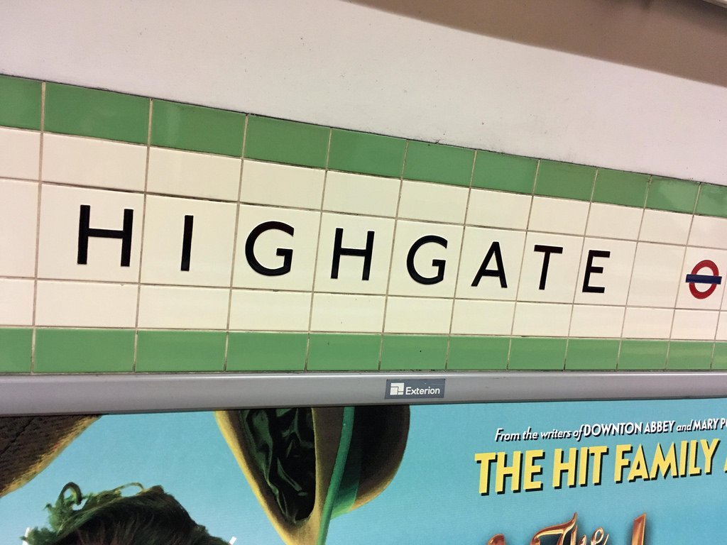
 Mill Hill East [1].

Information
Type: Transport for London
(Northern Line)
Station code: ZFC
Opened: 1867
Platforms: 3
Finchley Central predates the London Underground however, it was built by the Edgware, Highgate and London Railway as a North London suburban railway. By the time it opened in 1867 it was owned by the Great Northern Railway [2]. The station, originally called Finchley and Hendon, was on a line to Edgware with a branch to High Barnet was opening in 1872. The station was renamed Finchley (Church Road) in the late 1890s though since 1940 has been known as Finchley Central.

The station became part of the London Underground during the aborted Northern Heights project in the late 1930s with the station becoming part of the Northern Line and being electrified in 1940. The original line to High Barnet was cut back to Mill Hill East [3] with the main line continuing on to High Barnet. Although now a London Underground station it was still host to British Railways freight until 1962 when the goods yard was closed.

There were plans to replace the original station buildings with new though this was cancelled along with the rest of the Northern Heights project post-war [4]. Finchley Central thus has some of the oldest buildings remaining on the Underground. Finchley Central has three platforms, one for the Mill Hill East shuttle.
95ts 51555 pulls into Finchley Central on a Southbound service

Looking North

A North bound train arrives, the Mill Hill East shuttle on the far platform

All platforms retain canopies

Platform 1

Signalbox to the South of the island platform

[1] Jason Cross, London Underground Guide 2017 (Train Crazy, 2017) p. 124
[2] John Scott Morgan, London Underground in Colour Since 1955 (Ian Allan, 2013) p. 50
[3] Siddy Holloway, Highgate Wilderness Walkabout (London Transport Museum, 2017) p. 14
[4] Paul Moss, London Underground (Haynes, 2014) p. 106